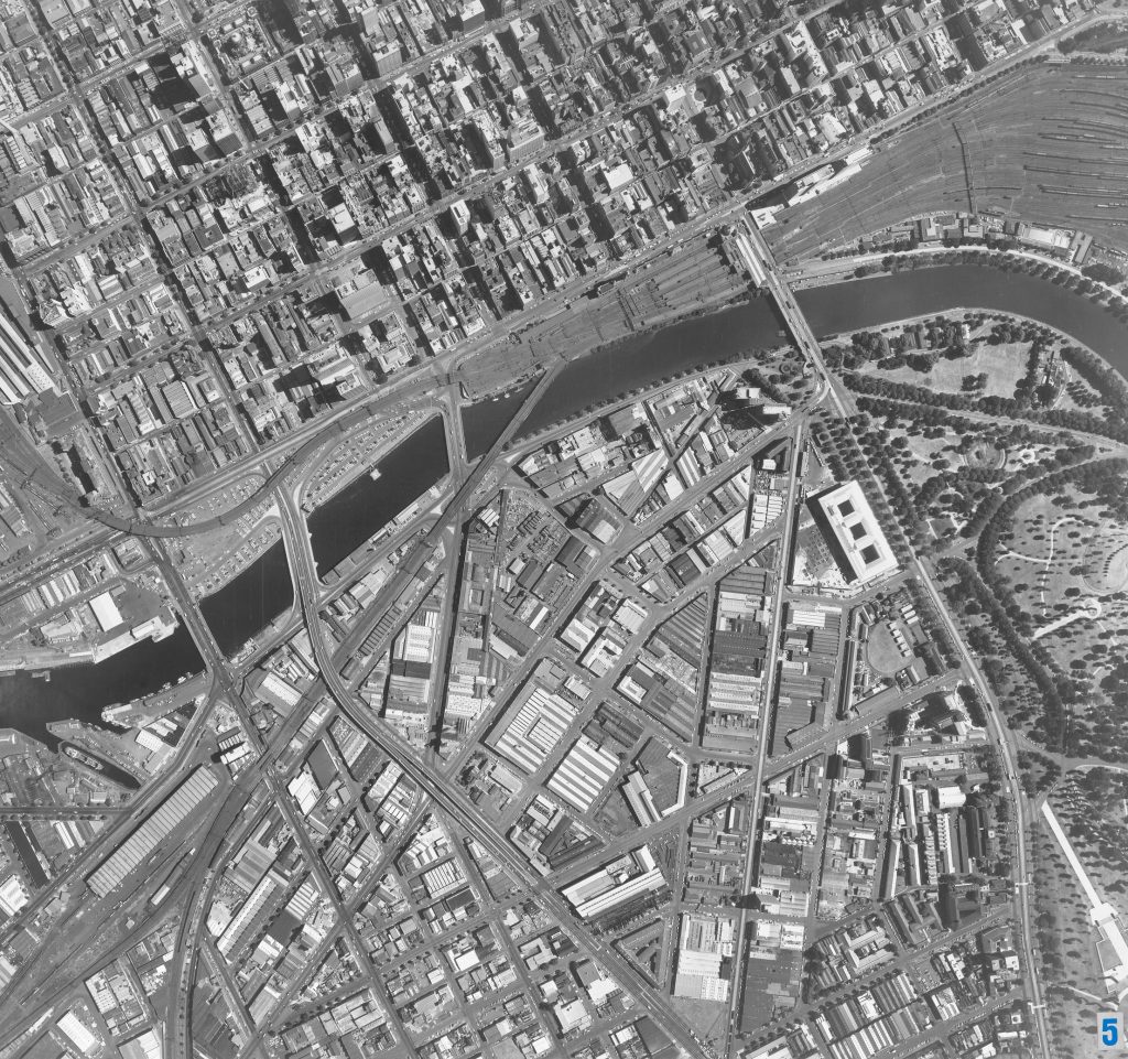
Image 5 – Aerial view of Melbourne CBD and Southbank 1967
Maker unknown
Registration number
1902482
Artist/maker
Maker unknown
Title
Image 5 – Aerial view of Melbourne CBD and Southbank
Production date
1967
Medium
photograph on paper on linen
Dimensions (H x W x D)
92 x 96 cm
Inscriptions
5
Credit line
City of Melbourne Art and Heritage Collection
Keywords
Summary
This aerial photograph is part of a collection of large format images stored in a wooden cabinet. The photographs document the Melbourne City Council municipality, particularly focusing on the areas west, north-west and south of Melbourne CBD. These areas have undergone huge urban transformation in the time since these photographs have been taken.
This photograph captures Melbourne CBD and Southbank. Notably, at this time the area of Southbank was primarily still an industrial zone which is evident in all the factories. Central to the image is the Yarra River and its major crossing points in the city: Lamont Bridge, King Street Bridge, Queens Bridge, Sandridge Bridge, Princes Bridge (west to east). Across from Flinders Street Station are the then recently completed Princes Gate Towers (the Gas & Fuel Towers). Along St Kilda Road, the Southgate Fountain, the Vacuum Oil Building, the APM Building, Alexandra Gardens, and the NGV are visible.
